Port de Javel: A Juxtaposition of History and Modernity in the Urban Landscape of Paris
A Testament to Parisian Resilience and Innovation in Urban Regeneration
The 15th Arrondissement of Paris, a testament to the city's urban resilience and diverse architectural and cultural evolution, has undergone a remarkable metamorphosis. Formerly a bustling industry hub, this district was replete with factories manufacturing everything from automobiles to bombs, alongside a thriving laundry industry and boat warehouses. Today, it stands as a vibrant example of urban renewal and adaptive reuse, deftly intertwining the district’s industrial past with its contemporary urban fabric.
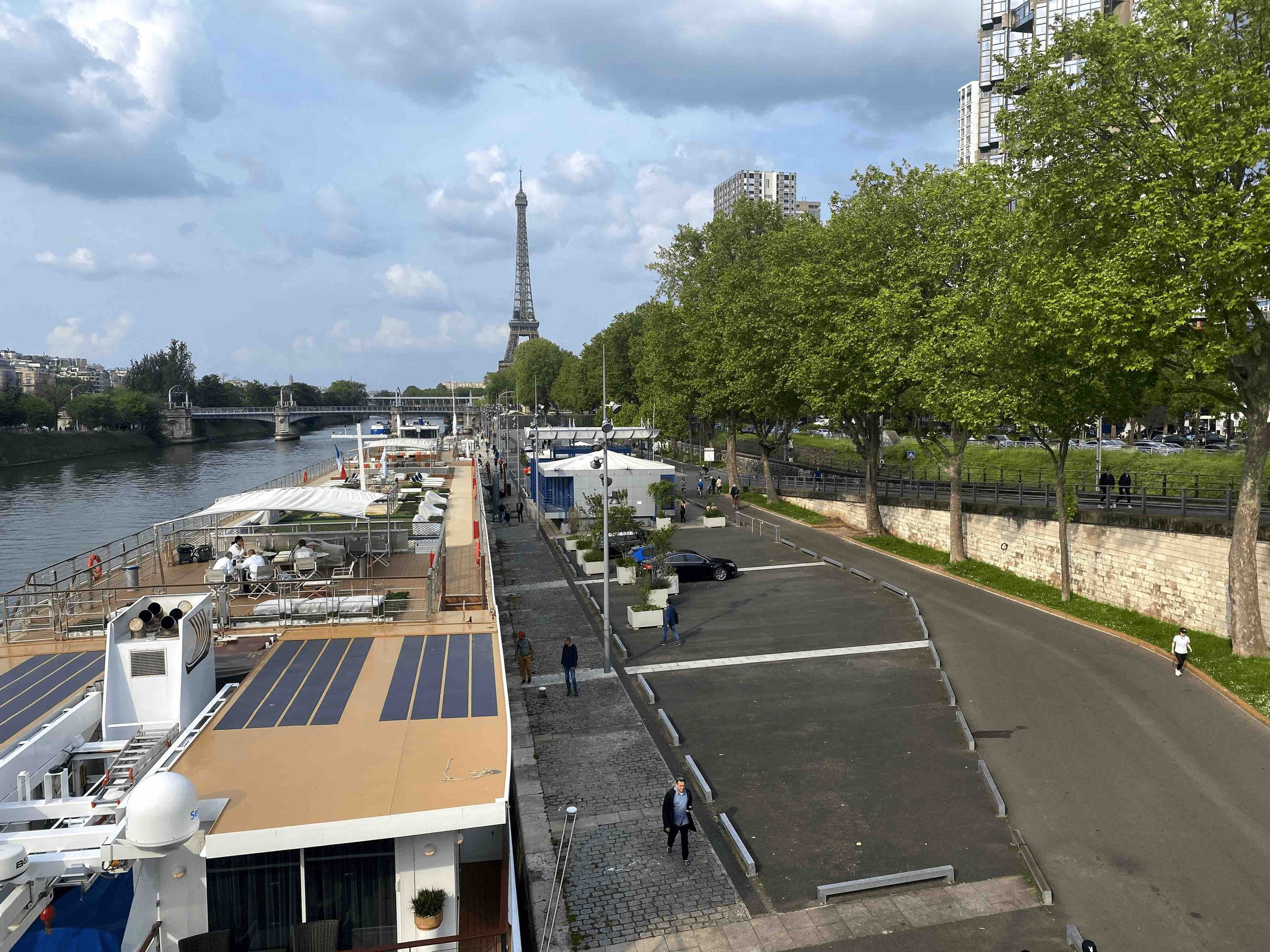
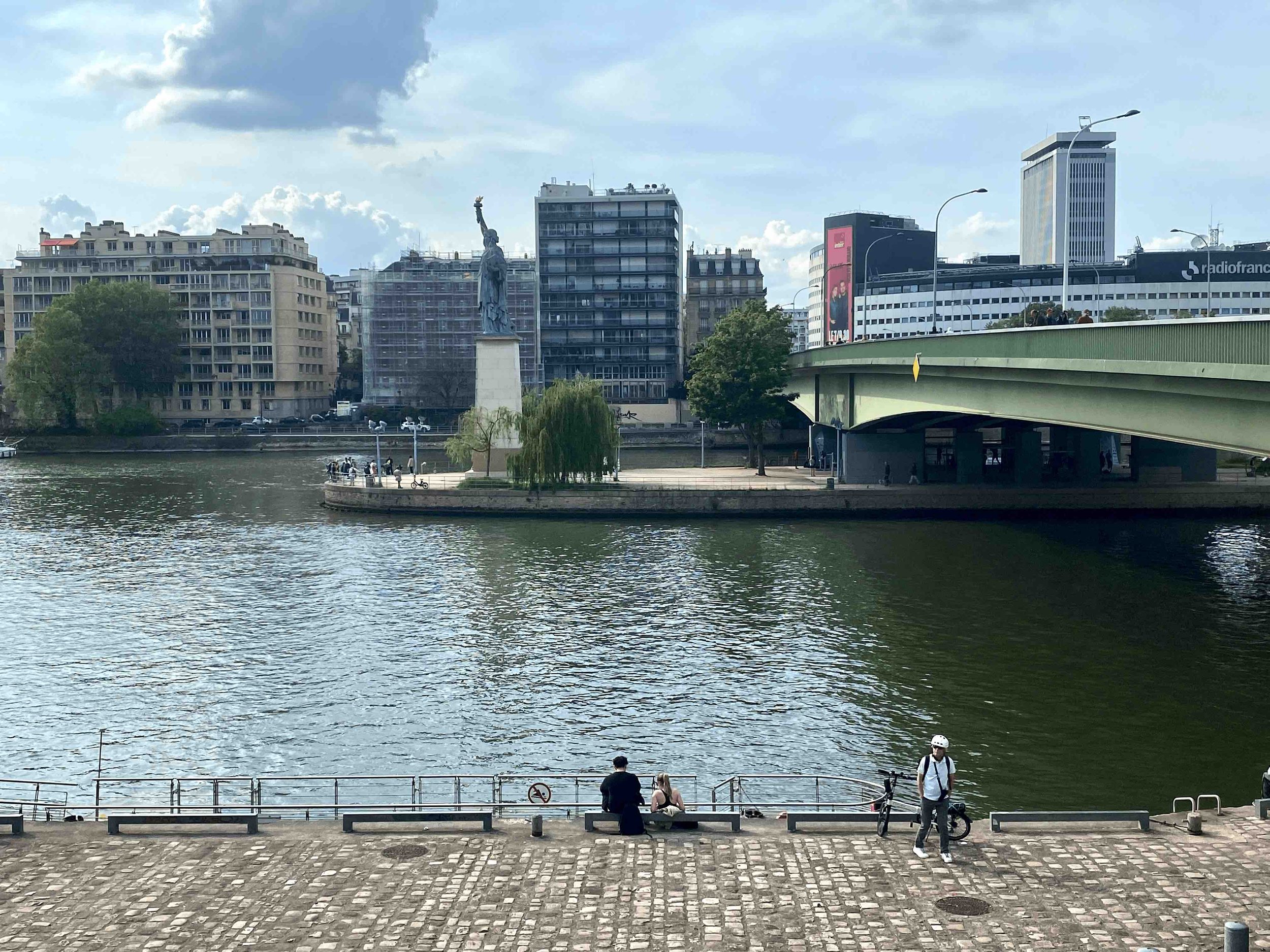
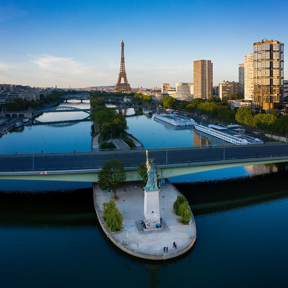
The term "port" is occasionally used in certain sections of the River Seine in Paris, primarily for historical and practical reasons. The Seine River has played a crucial role in the development and growth of Paris throughout history. It was a major transportation route for goods and people, facilitating trade and commerce. The areas along the riverbanks, particularly in central Paris, were vital trading hubs and harbors, commonly referred to as "ports" in the past. As with Port Javel, the term is used more broadly to refer to this specific location along the riverbank that has functional significance related to river transport; the area has docking infrastructure, such as quays and mooring points, where boats, barges, or tourist vessels can dock or unload cargo. This photo was taken from the 15th Arrondissement in the direction of Radio France in the 16th Arrondissement, with Tour Eiffel in the 7th Arrondissement seen in a distance.
The central narrative of this transformation revolves around the reintegration of Port de Javel. Once a hub of industrial activity, this area is now a dynamic public space aimed to re-qualify the city's entrance, promote river transport, and enhance the quality of shared public spaces. The result is a testament to strategic urban planning and design, wherein the past coexists harmoniously with the present.
Embarking on a journey through the 15th Arrondissement of Paris, a district showcasing a vibrant architectural tapestry—from the iron elegance of the 19th century Viaduc de Passy to the modernist buildings influenced by Le Corbusier, this area is a testament to Paris's urban, architectural and visual dynamic evolution, teeming with gems of past and present.
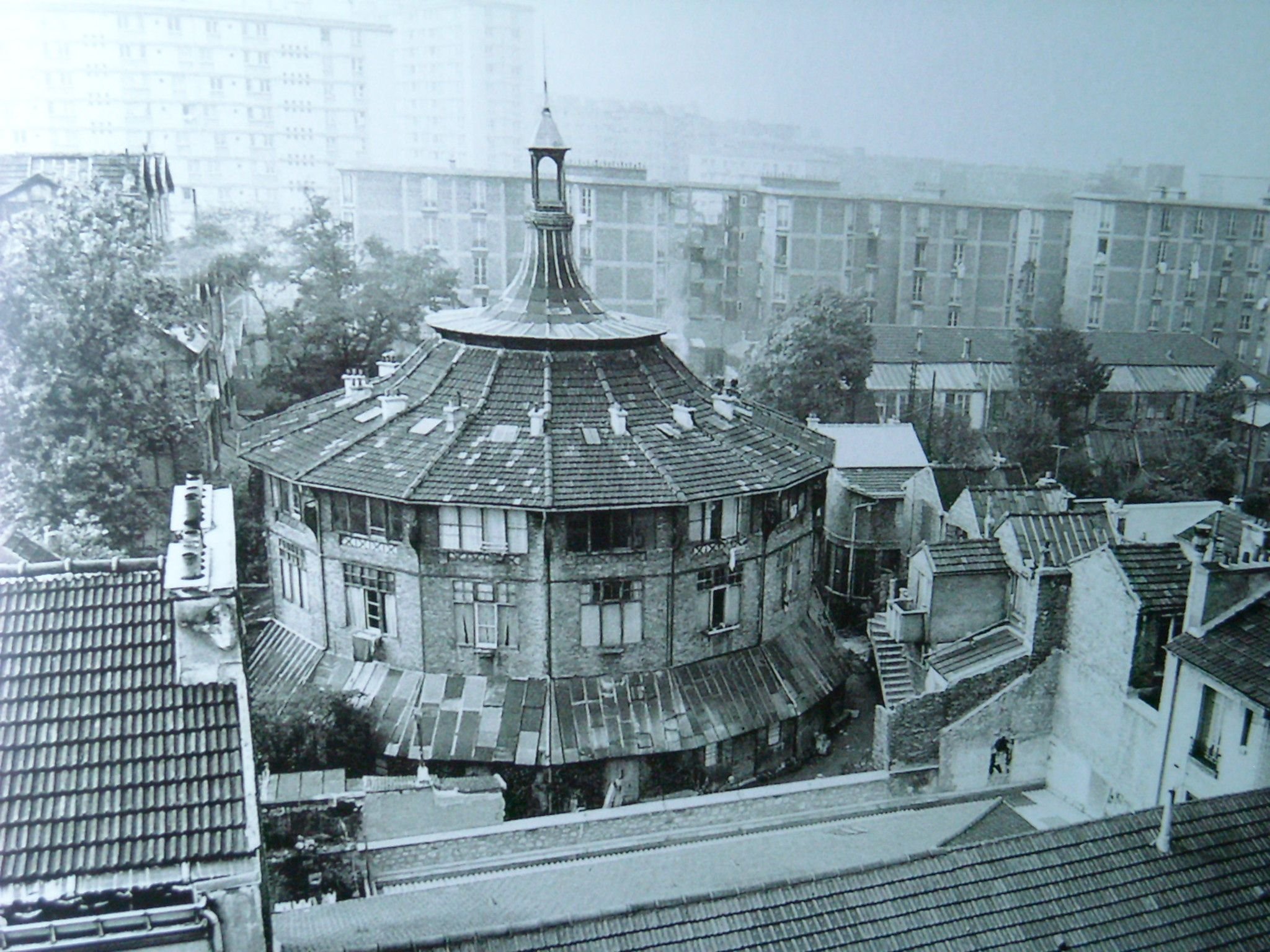
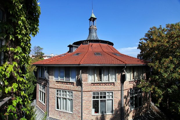
This district, while not particularly renowned for its ancient monuments, embodies a unique fusion of three major eras: the end of the industrial revolution, the Art Deco and modernist movements of the 1930s, and the architectural innovations of the 1970s. Each period has left an indelible mark on the cityscape, resulting in a stunning juxtaposition evident when gazing across the River Seine, either from the 16th Arrondissement towards the 15th or vice versa. A brief stroll through the arrondissement reveals the Viaduc de Passy (Pont de Bir Hakeim), a remarkable example of 19th-century iron and glass architecture akin to the Eiffel Tower. The early 1900s saw the rise of reinforced concrete in architecture, significantly altering the visual landscape. The Art Deco movement of the 1910s and 1920s simplified forms and multiplied geometric motifs. In contrast, the Modernist movement, sprinkled through the 15th urbanscape, prioritized experimentation, asymmetrical compositions, minimal ornamentation, and light, making the building's form subordinate to its function. The influence of young architects like Le Corbusier, who capitalized on new materials to manifest their theories, is also evident. The 15th Arrondissement is replete with heritage buildings like the replica of the Statue of Liberty, the Georges Brassens Park, the bus depot on rue Charles Lecocq, and La Ruche, an artists' colony born from materials reclaimed from the Exposition Universelle of 1900 (the 1900 Paris Exposition). The Eiffel Tower, a symbol of Parisian grandeur, is vividly visible from most vantage points in the area.
Port Javel is a testament to Parisian resilience and innovation in urban regeneration. This narrative explores the reintegration of Port de Javel into urban life, aiming to re-qualify the city's entrance, promote river transport, and enhance the quality of shared public spaces. The area's redevelopment is a fascinating blend of functionality, heritage preservation, and modern design aesthetics, making it a compelling case study of urban transformation
The urban regeneration of the Port de Javel and its surroundings focused on reintegrating the port into urban life. The goal is to re-qualify the entrance to the city and highlight the functioning of port activities and river transport. Integrating the area with access points, particularly the Métro de Paris and Réseau Express Régional (RER), an extensive commuter rail and rapid transit system that serves Paris and its suburbs, is a significant aspect of this transformation. In addition, the redevelopment aimed to create a shared space, reconciling the constraints of port activities with the desire to develop a high-quality, functional area that welcomes various users. Walkers, cyclists, joggers, and others can coexist safely amidst the hustle and bustle of rail transportation corridors and port activities.
This key goal is to enhance access to soft modes of transport and create continuous walking spaces along the banks of the Seine, ensuring that the Port of Javel redevelopment emphasizes the creation of a formal public promenade along the Seine connected with the existing walkway of the Seine quays. This continuous, accessible, and visually appealing path along the river integrates the port into the wider cityscape, offering a unique perspective on the city’s riverbank evolution. In addition to its functional aspects, the redevelopment also highlights the port's heritage by preserving the industrial aesthetic and history while blending it with modern design elements. This approach respects the past while also acknowledging the evolving needs of a 21st-century city.
The Port of Javel and the 15th Arrondissement of Paris offer a unique insight into the city's architectural and cultural evolution. The area is a testament to the city's ability to respect its history while adapting to contemporary needs. The juxtaposition of different architectural styles, the transformation from an industrial hub to mixed-use spaces, and the ongoing efforts to integrate the port into the city's urban fabric make this area a worthy case study in urban transformation and design. Javel contributes to Paris's dynamism and diversity through its redevelopment, illustrating how cities can evolve and adapt over time.
A 3D model of Paris showcases the iconic River Seine as it winds through the city. On the right side of the river, you'll find the 15th Arrondissement of Paris, while on the left, the prominent circular building of Radio France stands out. Tracing along the river, an orange line represents the Réseau Express Régional (RER), an extensive commuter rail and rapid transit system that serves Paris and its suburbs. With a focus on urban planning and development, the goal is to maintain a seamless promenade that runs parallel to the riverbank, adjacent to the RER, and through the various quays along the Seine. This riverfront area is characterized by diverse activities, including train tracks, port infrastructure, multifaceted uses, and service areas to support the movement of goods and services. To enhance the accessibility of this dynamic riverside environment, particular attention is given to creating continuous walking spaces along the Seine's banks. By prioritizing soft modes of transportation, such as walking and cycling, the aim is to cultivate a sustainable and pedestrian-friendly urban landscape adjacent to the river yet free from conflicts with the surrounding areas— simultaneously integrating the hybrid commuter rail and rapid transit system provided by the RER.
The riverfront design of Port Javel represents a recurrent theme being implemented in various ports along the Seine; the planning merges functionality and aesthetics. The stratified layout blends commercial and recreational uses with pedestrian walkways while ensuring uninterrupted riverside-parallel movement. The pedestrian movement in multiple parallel and crossways creates a seamless, interconnected experience and an area of tranquility amidst the hustle, uninterrupted by the dynamic urban pulse of the adjacent RER stations and office blocks.
The above not-to-scale illustration depicts the stratified design of the Port Javel riverfront. It comprises various circulation, pedestrian, vehicular, and land-use components divided into four zones. Zone 1, the immediate riverfront zone, encompasses several areas with specific functions. From left to right, these include the riverboat movement area, docking services, and a pedestrian walkway. Following these areas is a multi-use zone that provides limited vehicular access for loading and unloading, parking facilities, commercial spaces, and green/seating areas. The commercial spaces are predominantly used as offices for cruise companies, food and beverage establishments, and recreational venues. After this multifaceted area, another pedestrian walkway is present. This is succeeded by an activity passage dedicated to cyclists and joggers, concluding with a verdant strip of landscaped greenery. This structured design ensures the efficient utilization of space while promoting various activities for visitors to the riverfront. Zone 2, moving from left to right, features a pedestrian walkway followed by a limited-access vehicular road. This road is primarily used for service vehicles and emergencies and is followed by another pedestrian walkway. This zone concludes with a barrier that demarcates it from Zone 3, which houses the RER railways and stations (shown in orange in the above 3D model). Zone 2 is interconnected with Zone 4 via circulation paths above Zone 3/RER. Zone 4 is delineated by the main road, with a wall on the left separating it from the RER. On the right are office building blocks with varying functions and heights, ranging from medium to high-rise. These buildings incorporate a mix of uses, including commercial spaces, shipping outlets, and recreational facilities. The design of these zones ensures optimal space utilization and seamless movement while catering to a wide range of activities and services.
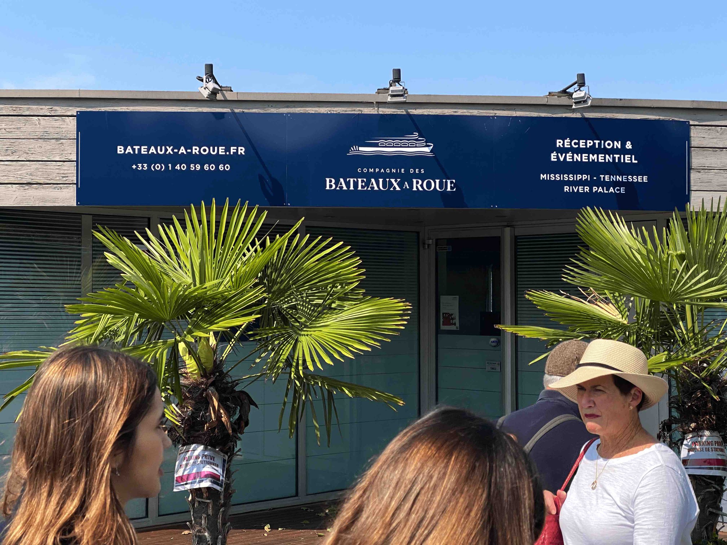
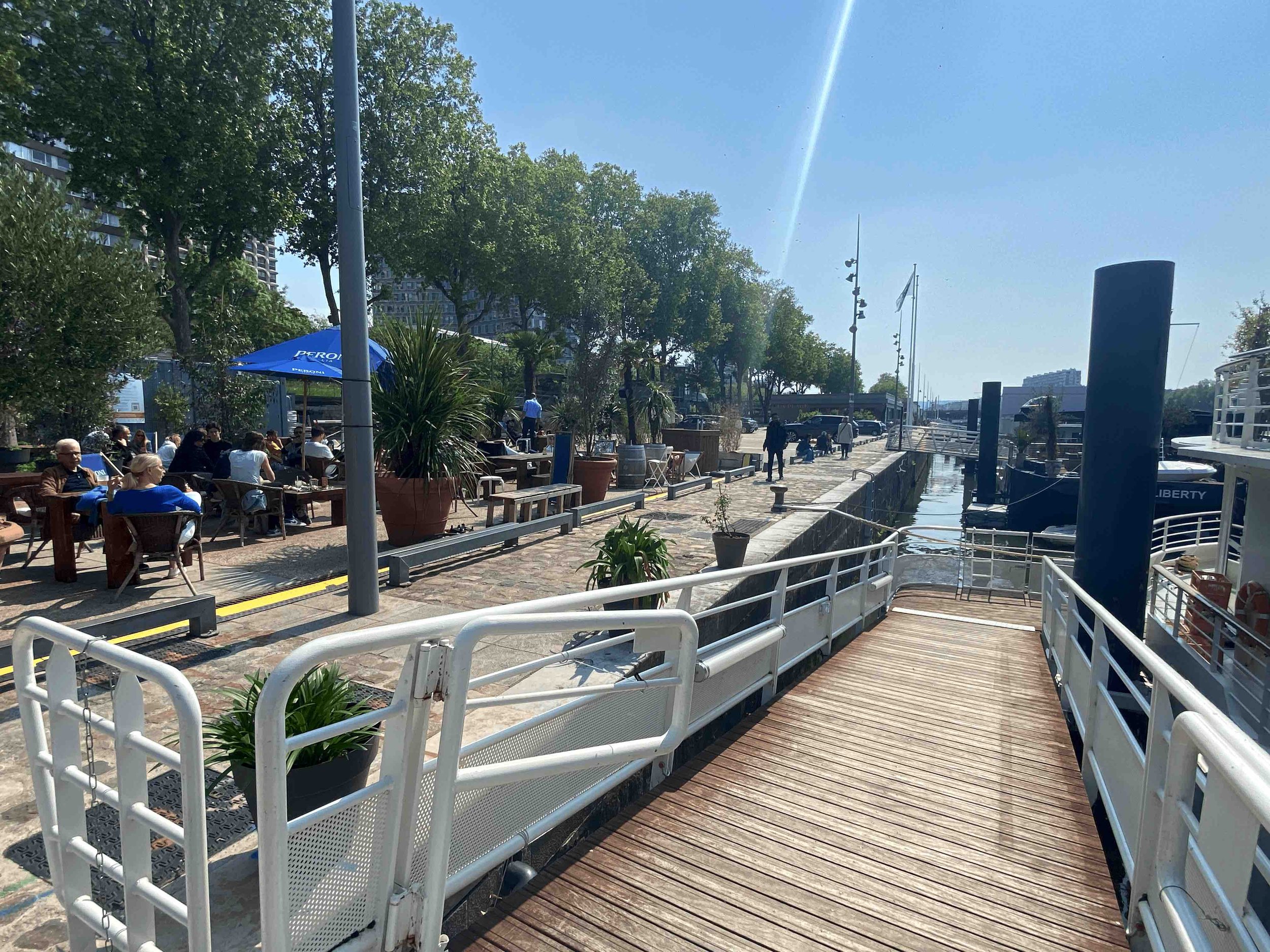
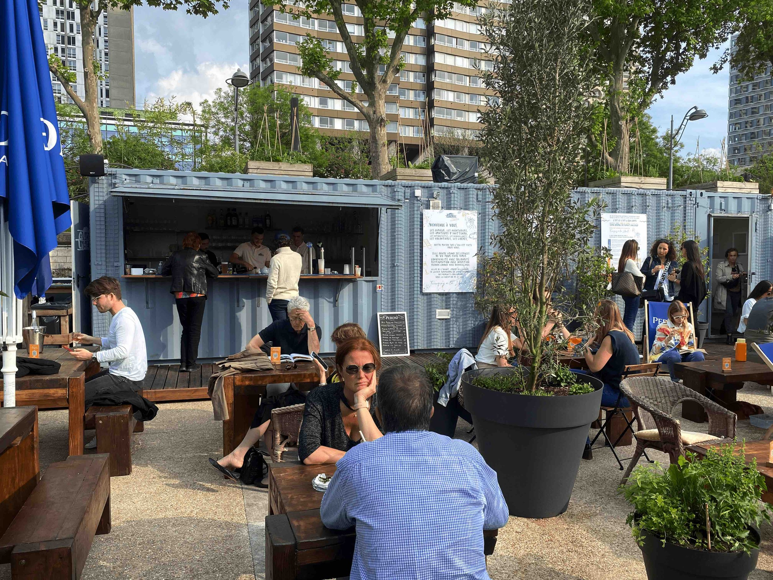
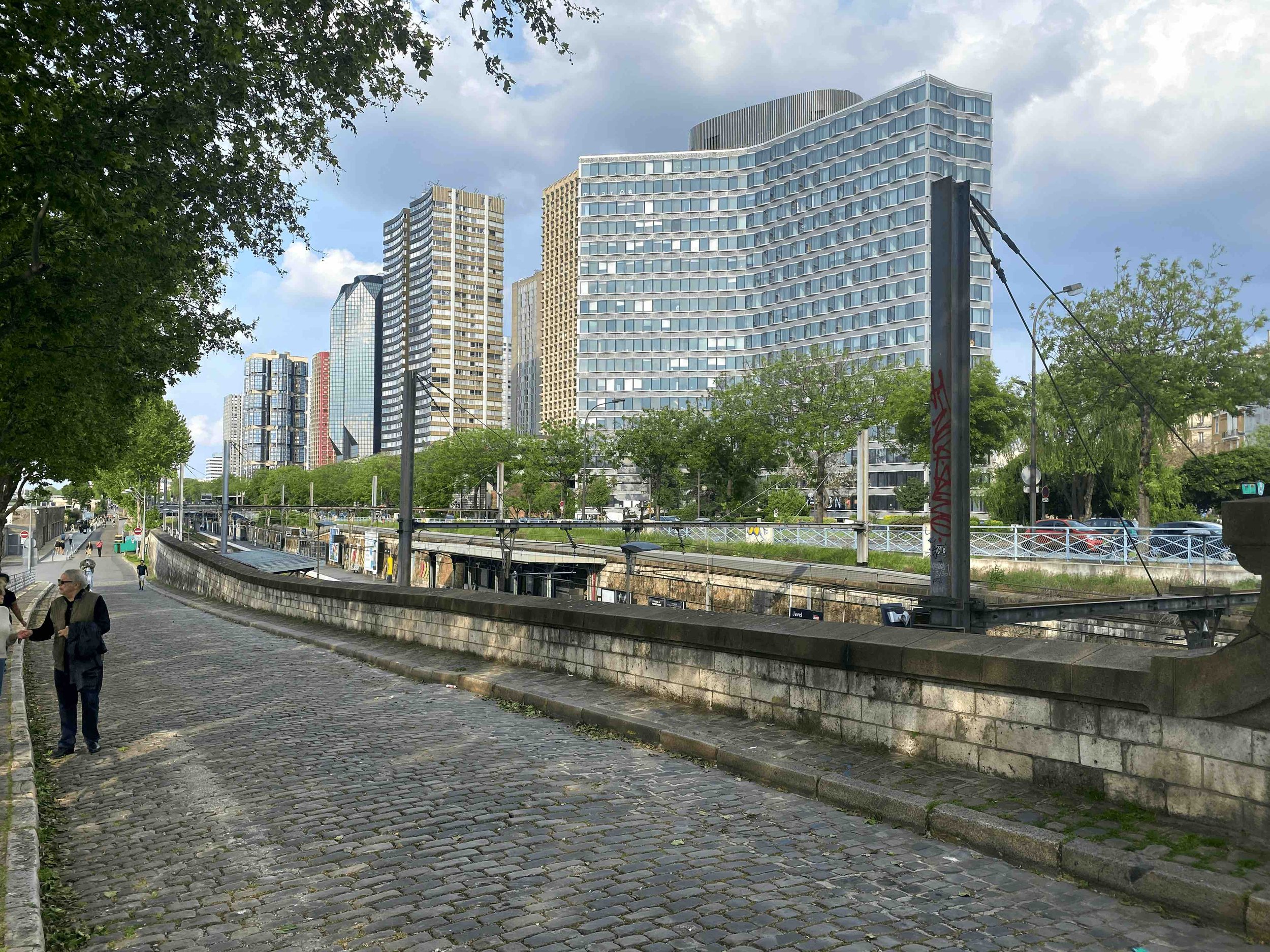
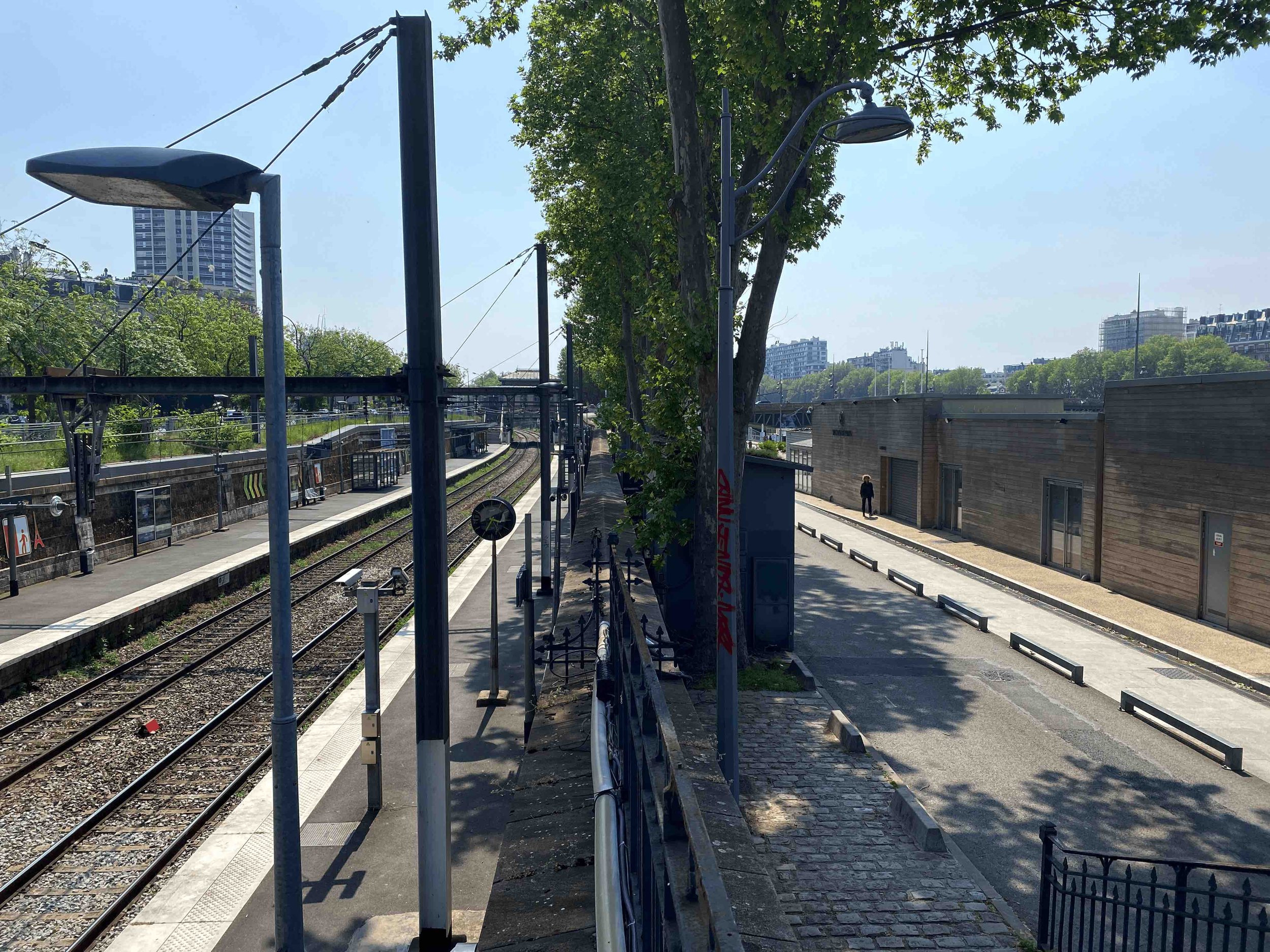
The Port of Javel thus becomes a living class in evolving a riverfront through decades of a city’s evolution, showcasing a transition from the industrial revolution to Paris’s modern era of services, tourism, and a vibrant hub of mixed economic and social activities. This juxtaposition presents a narrative of urban evolution, marking the transition from an industrious past to a contemporary, multi-faceted present. It's a testament to the city's ability to adapt and transform while preserving echoes of its rich river trade and industrial heritage.
The urban redevelopment of the 15th Arrondissement in Paris is quite the story, and while much of the conversation so far revolves around the riverfront design aspects, its adaptive reuse deserves an equal spotlight. Adaptive reuse is quite evident in a consistent effort to preserve the industrial heritage and historical architecture. This theme within the 15th Arrondissement and how it has transformed and revitalized the area, breathing new life into old structures, is worthy of a lengthier discussion.
The 15th Arrondissement’s redevelopment has been a broader process involving, among many approaches, the adaptive reuse of its industrial heritage, converting buildings into public spaces, housing, and offices, while preserving elements of historical architecture. This blend of adaptive reuse and riverfront redevelopment presents an interplay of functionality, heritage preservation, and modern design aesthetics.
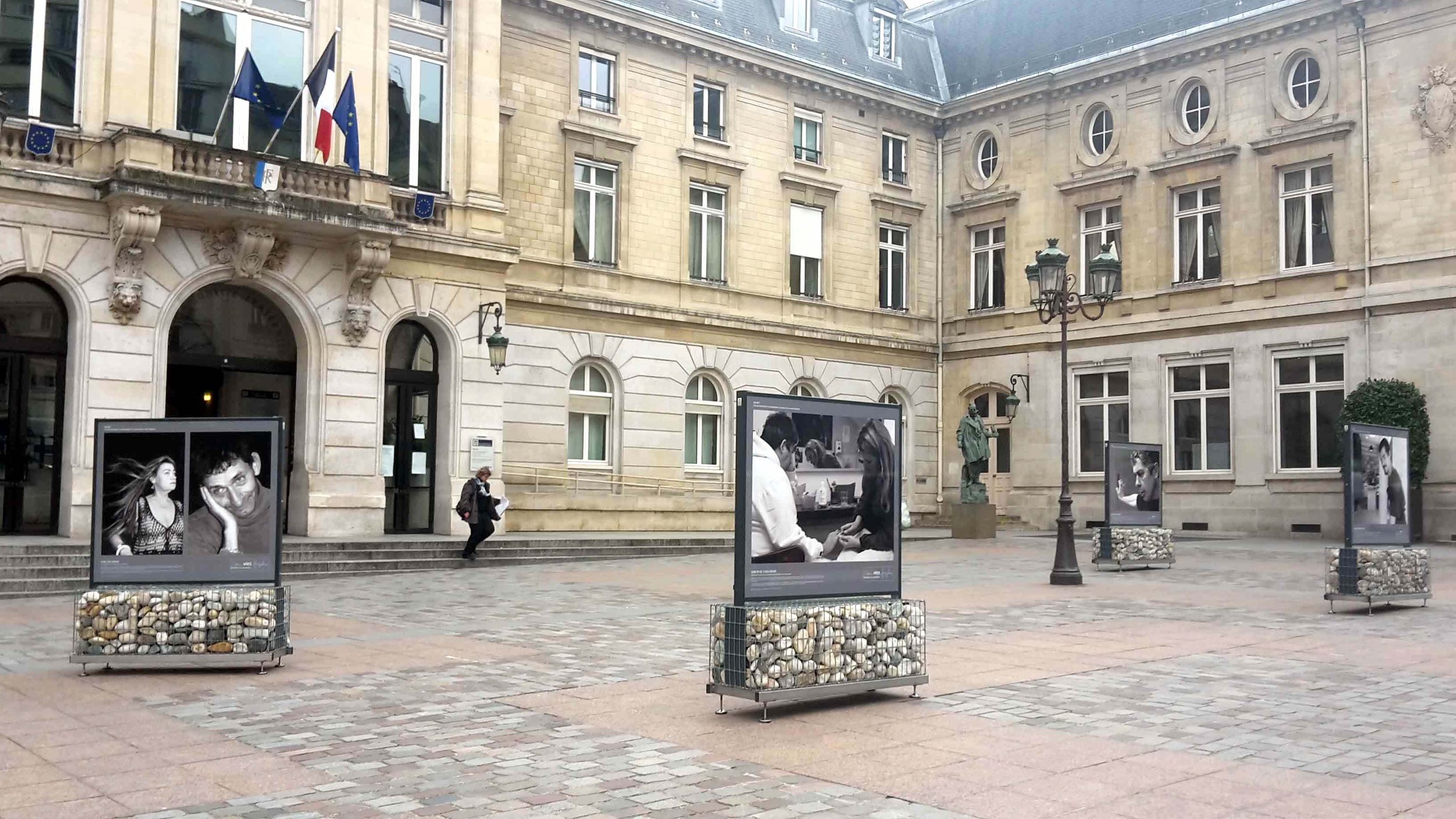
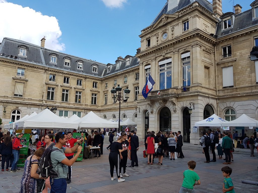
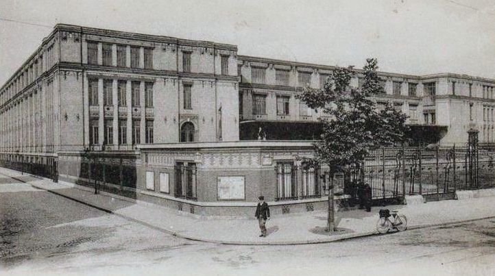
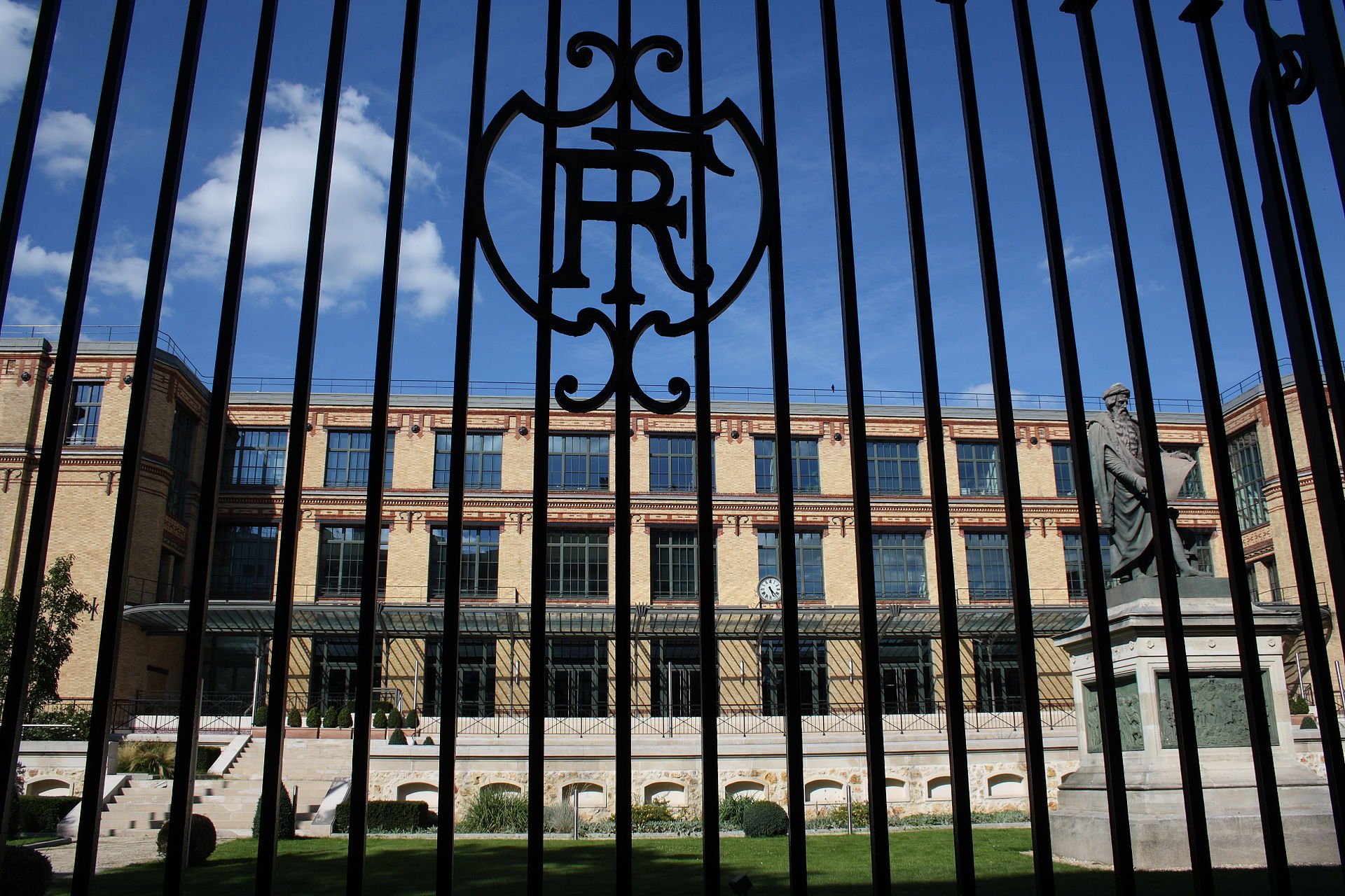
By blending old and new, the renovation celebrates the district's history while welcoming its future. The examples are many, from whole buildings to adaptive features, such as the 11-meter wide artificial Seine island, the l’île aux Cygnes, which hosts the quarter-scale replica of the Statue of Liberty (American gifted in 1889 on the occasion of the centenary of the French Revolution), the Georges Brassens park, the bus depot on rue Charles Lecocq, and La Ruche, a city of artists born from materials recovered from the 1900 Paris Exposition construction. There is also notable 20th-century architecture that has endured and integrated into today’s urban dynamics, and cultural scene, such as the former national printing house (Imprimerie national) and the 15th Arrondissement's town hall.
From Incarceration to Integration: Embracing Second Chances and the Resilient Spirit of the 15th Arrondissement
The 15th Arrondissement's riverfront promenade continues to surprise with a social dimension to its urban awakening. Nestled among this pedestrian landscape lies a small, pleasant, colorful service establishment called WakeUp Café. Seamlessly integrating a restaurant, an NGO, hospitality, inmate reintegration, and vocational training symbolizes the human spirit's resilience and capacity for recovery, mirroring the district's ‘journey of transformation.’ Funded under the Skills Investment Plan of the French Ministry of Labour, Employment and Integration, WakeUp Café reintegrates formerly incarcerated individuals nationwide and illuminates the potential for positive change and second chances.
OHK recognizes comparable community action models globally, spanning from San Francisco to various corners of the world. In a follow-up, we spotlight them through design, implementation, and community development lenses.
Contact us for more information about OHK’s urban and economic regeneration services and capital investment advisory.


